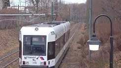
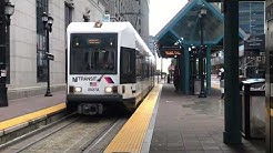
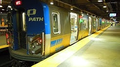
VIDEOS
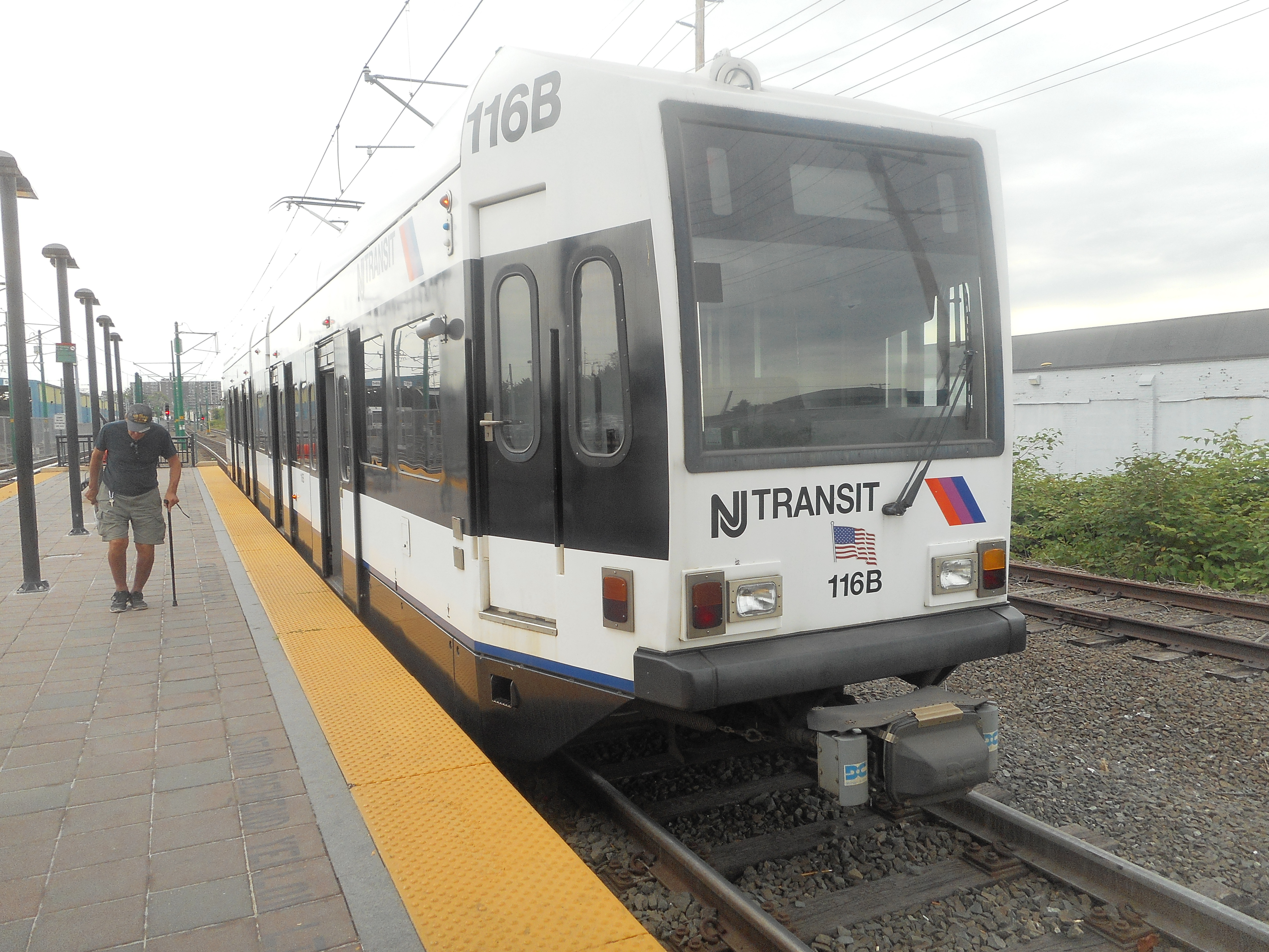
PHOTOS
 |
 |
 |
MAP
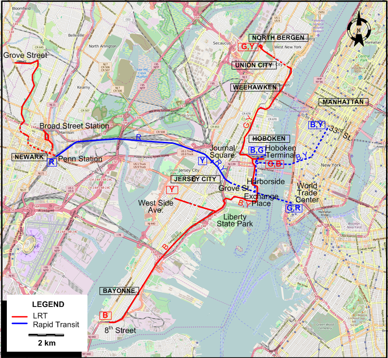
I created the above map by overlaying an OpenStreetMap (OSM) map with my own data. Copyright on the OSM map is © OpenStreetMap contributors, licensed under a CC-BY-SA (Creative Commons Attribution-ShareAlike 2.0 licence).
Please note that the OSM map used as a template for this map corresponds to the situation at the time the map was downloaded and may show features that did not exist at the time the GS Tram Site is supposed to show. In particular, it may show bridges and highways that were built later.
ROUTES
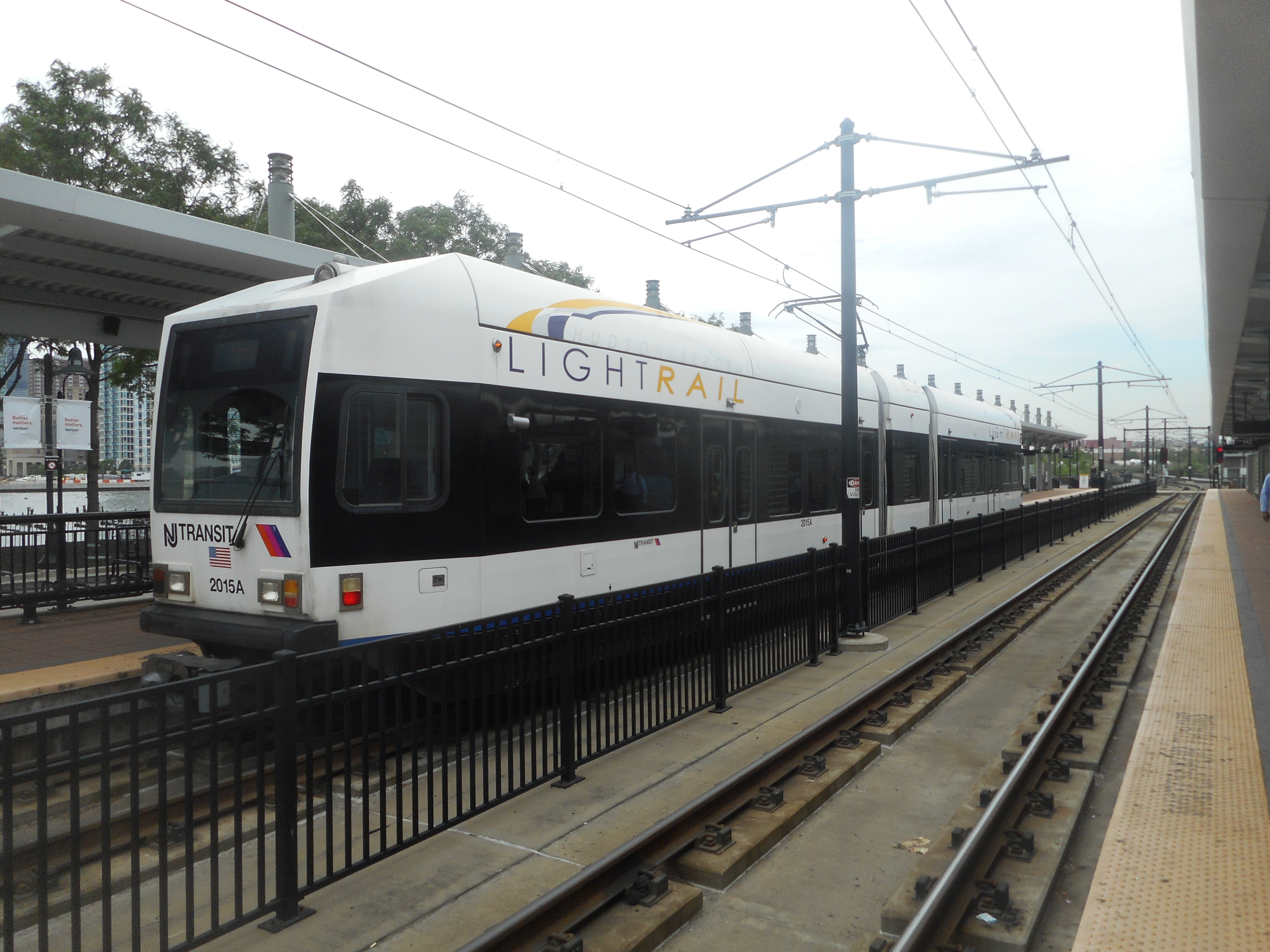
LIGHT RAIL ROUTES
Operator: NJ Transit
NEWARK
| Newark City Subway | Grove Street - Newark Penn Station (in subway in downtown Newark |
| Newark Light Rail | Broad Street Station - Newark Penn Station |
HUDSON–BERGEN LIGHT RAIL
| B | Blue Line | Hoboken Terminal - Harborside - Liberty State Park - Bayonne 8th Street |
| G | Green Line | Hoboken Terminal - Weehawken - Union City - North Bergen [Weekdays only] |
| Y | Yellow Line | West Side Ave. - Liberty State Park - Harborside - Weehawken - Union City - North Bergen |
Note: Route designations by letter are not used by the operator.
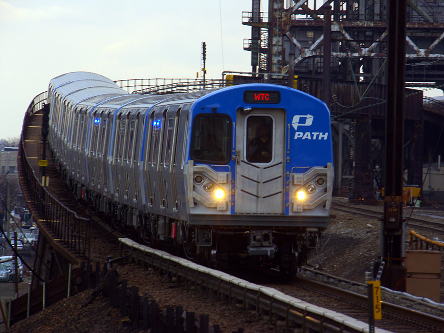
RAPID TRANSIT ROUTES
PATH System
Operator: Port Authority of New York and New Jersey (PANYNJ)
| B | Blue Line | Hoboken Terminal - 33rd St. (Manhattan) [No late night or weekend service] |
| G | Green Line | Hoboken Terminal - Exchange Place - World Trade Center (Manhattan) [No late night or weekend service] |
| R | Red Line | Newark Penn Station - Journal Square - Grove St. - Exchange Place - World Trade Center (Manhattan) |
| Y | Yellow Line | Journal Square - Grove St. - 33rd St. (Manhattan) [Stops at Hoboken Terminal on late nights and weekends] |
Note: Route designations by letter are not used by the operator.
CHARACTERISTICS OF THE SYSTEM
NETWORK LENGTH
- Newark City Subway + Newark Light Rail: 10.0 km.
- Hudson–Bergen Light Rail: 27.4 km.
- PATH Rapid Transit: 22.2 km.
HISTORY
- Horse-traction streetcars: (Essex Division) 1859 - 1895; (Hudson Division) 1860 - 1895
- Steam-dummy traction: (Essex Division) 1878-1879
- Cable car: (Essex Division) 1888 only
- Electric streetcars: (Essex Division) 4 Oct. 1890 - 30 March 1952 (except for the Newark City Subway); (Hudson Division) 1892 - 7 Aug. 1949
- Newark City Subway (and surface line): 16 May 1935 - 16 July 2006 (integrated into Newark Light Rail)
- Hudson-Bergen Light Rail: 15 Apr. 2000 - today
- Newark Light Rail: 17 July 2006 - today
- Rapid transit (in tunnel under the Hudson): 26 Feb. 1908 - today (service between Lower Manhattan and Hoboken interruped due to the 9/11 attacks: 11 Sept. 2001 - Nov. 2003)
GAUGE
- Light rail / Streetcars / PATH (formerly Hudson & Manhattan Railroad System): 1435 mm.
SOURCES
- Craig, P. "Newark: New Jersey's best kept secret revealed", Tramways & Urban Transit, Nov. 2006 (69: 827), p.298-299.
- Kyper, F. "Newark's best-kept secret - The City Subway", Modern Tramway, July 1968 (31: 367), p.231-235.
- Lietwiler, C. "Light rail takes off in New Jersey", Tramways & Urban Transit, July 2000 (63: 751), p.248-250.
WIKIS
WEB SITES
Also, many thanks to Mr Russell Powers of Lone Tree, CO, USA, for kindly sending me information and documents concerning the history of the streetcar systems in northern New Jersey.
Copyright Gabor Sandi 1998-2025
Disclaimer: Everything on this site was written and/or prepared at the author's discretion. The author has tried to be accurate where facts are presented, but this does not mean that these facts are necessarily accurate. People needing more reliable information should refer to appropriate sources presented, on the Internet or elsewhere, by authoritative professional or academic bodies.
To get in touch with the webmaster, send an e-mail to g_sandi at hotmail.com.
Flags on this site are from the FOTW Flags Of The World website.
