VIDEOS
 |
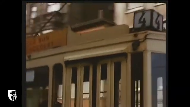 |
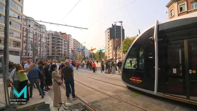
| Above: YouTubeCA video – HISTOIRE DES TRAMS LIÉGEOIS 1871 – 1967 / Mag' de la rédac' – Length:22:37 mins. | Above: YouTubeCA video – le Tram à Liège en 1964 – Length: 2:49 mins. |
PHOTO
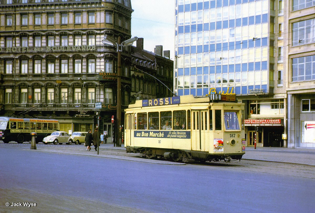 |
MAP
I created the above map by overlaying OpenStreetMap (OSM) maps with my own data. The underlying map data is © OpenStreetMap contributors, licensed under the Open Database License (ODbL).
Please note that the OSM map used as a template for this map corresponds to the situation at the time the map was downloaded and may show features that did not exist at the time the GS Tram Site is supposed to show. In particular, it may show bridges and highways that were built later.
ABBREVIATIONS ON THE MAP
| GL | Gare de Longdoz | PSL | Place Saint-Lambert |
| PA | Pont des Arches | PW | Pont de Wandre |
| PC | Pont de Coronmeuse (Pont Atlas) | RF | République française |
| PRA | Pont de Commerce (Pont du Roi Albert) | Th | Théâtre |
ROUTES
URBAN TRAM ROUTES
Operator: Tramways Unifiés de Liége et extensions (TULE)
| 1 | Guillemins – Coronmeuse |
| 2 | Théâtre – Renory – Seraing |
| 3 | Théâtre – Renory – Ougrée / Jemeppe |
| 4 | Guillemins – Pl. St-Lambert – Gare de Longdoz |
| 5 | Pl. St-Lambert – St-Léonard – Herstal – Vivegnis |
| 6 | Théâtre – St-Léonard – Herstal – Pont de Wandre – Wandre |
| 7 | Pl. St-Lambert – Guillemins – Renory |
| 9 | Guillemins – Pont de Commerce (Pont du Roi Albert) – Gare de Longdoz |
| 10 | Pl. St-Lambert – Pont des Arches – Bois-de-Breux Gare – Fléron Gare |
| 11 | Pl. St-Lambert – Pont des Arches – Bois-de-Breux Gare |
| 12 | Pl. St-Lambert – Ans |
| 13 | Pl. St-Lambert – Pont des Arches – Grivegnée |
| 17 | Guillemins – Pont de Commerce (Pont du Roi Albert) – Bressoux |
| 18 | Pl. St-Lambert – Pont des Arches – Bressoux |
Given the information provided in my sources, it is not possible to describe the exact itinerary of certain tram routes, in particular of routes 2, 3 and 17.
Operator: Railways économiques de Liège-Seraing et extensions (RELSE)
| LF | République française – Renory – Jemeppe – Flémalle-Haute |
| LO | République française – Renory – Ougrée |
| LS | République française – Renory – Seraing – Beauséjour |
INTERURBAN (VICINAL) TRAM ROUTES
Operator: Société Nationale des Chemins de fer Vicinaux (SNCV)
Electrified routes:
| 50 | Pl. St-Lambert – Ste-Walburge – Rocourt |
| 51 | Pl. St-Lambert – Ste-Walburge – Vottem |
| 52 | Pl. St-Lambert – Ste-Walburge |
| 53 | Pl. St-Lambert – St-Gilles – Grâce-Berleur – Hollogne – Grâce-Hollogne – Jemeppe |
| 55 | Pl. St-Lambert – St-Gilles – Grâce-Berleur – Hollogne |
| 56 | Pl. St-Lambert – St-Gilles – Grâce-Berleur |
| 57 | Tilleur – St-Nicolas – St-Gilles – Pl. St-Lambert – Pont des Arches – Bressoux – Jupille |
| 58 | Pl. St-Lambert – St-Gilles – En Ster – Ans – Alleur |
| 59 | Jemeppe – Grâce-Hollogne – Mons-Crotteux |
| 60 | Pl. St-Lambert – Pont des Arches – Bressoux – Jupille |
| 61 | Tilleur – St-Nicolas – St-Gilles – Pl. St-Lambert – Pont des Arches – Bressoux |
| 62 | Pl. St-Lambert – Pont des Arches – Pont de Coronmeuse (Pont Atlas) – Coronmeuse – Herstal |
| 63 | Pl. St-Lambert – Pont des Arches – Pont de Coronmeuse (Pont Atlas) – Coronmeuse |
| B (Bleu) | Pl. St-Lambert – Ste-Walburge – Rocourt – Tongeren |
| J (Jaune) | Pl. St-Lambert – Pont des Arches – Pont de Coronmeuse (Pont Atlas) – Coronmeuse – Herstal – Riemst |
| R (Rouge) | Pl. St-Lambert – Ste-Walburge – Alleur – Oreye – St. Truiden |
The Interurban (Vicinal) electrified country routes denoted by B, J and R above were colour-coded Bleu (Blue), Jaune (Yellow) and R (Rouge) and the letter designations used here were not used by the operator.
Steam-operated routes:
| F | Jupille – Barchon – Dalhem – Fouron-le-Comte |
| L | Vottem – Liers |
The F and L designations above are of an indicative nature only and were not used by the operator.
The steam-operated SNCV line operating between Ougrée and Warzée was suspended between 1938 and 1940, see Davies (2006), p.163.
CHARACTERISTICS OF THE SYSTEM
NETWORK LENGTH
- Urban trams (TULE): 58 km.
- Urban trams (RELSE): ? km.
- Vicinal trams: ? km
HISTORY
- Urban trams (First generation): (horse-drawn) 1871 - ?; (steam) ? - ?; (electric) 9 Aug. 1893 - Nov. 1967.
- Urban trams (Second generation): 28 Apr. 2025 - today.
- Interurban trams: (steam) 6 May 1888 - 1956; (electric) 14 Aug. 1901 - 23 Dec. 1961.
GAUGE
- Trams : 1435 mm.
- Interurban trams (SNCV): 1000 mm.
NB: In 1939, sections of the two systems that were interlined had mixed gauge.
SOURCES
- Davies, W.J.K. The Vicinal story - Light railways in Belgium, 1885-1991. Scarborough [England]: Light Rail Transit Association, 2nd ed., 2006.
- Price, J.H. "Museum news" Modern Tramway and Light Rail Transit, Nov. 1986 (49: 587), p.380-382.
- Thompson, A. "Liège: this couLd be the start of somethIng…" Tramways and Urban Transit, Aug. 2025 (88: 1052), p.306-308.
WIKIS
- Ancien tramway de Liège
- Railways économiques de Liège-Seraing et extensions
- SNCV Groupe de Liège
- Tramway de Liège
- Tramways unifiés de Liège et extensions
WEB SITES
Copyright Gabor Sandi 1998-2026
Disclaimer: Everything on this site was written and/or prepared at the author's discretion. The author has tried to be accurate where facts are presented, but this does not mean that these facts are necessarily accurate. People needing more reliable information should refer to appropriate sources presented, on the Internet or elsewhere, by authoritative professional or academic bodies.
To get in touch with the webmaster, send an e-mail to g_sandi at hotmail.com.
Flags on this site are from the FOTW Flags Of The World website.