VIDEOS
 |
 |
| Above: YouTubeCA video - Utrecht Tram | 2019 | U-OV | Sneltram | Light Rail | Netherlands - Length: 17:11 mins. | Above: YouTubeCA video - Sneltram Utrecht - Nieuwegein - Length: 15:17 mins. |
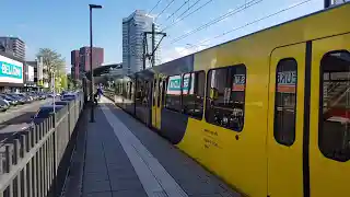
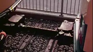
PHOTOS
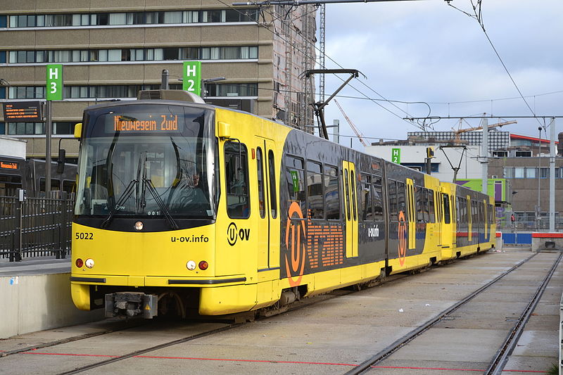 |
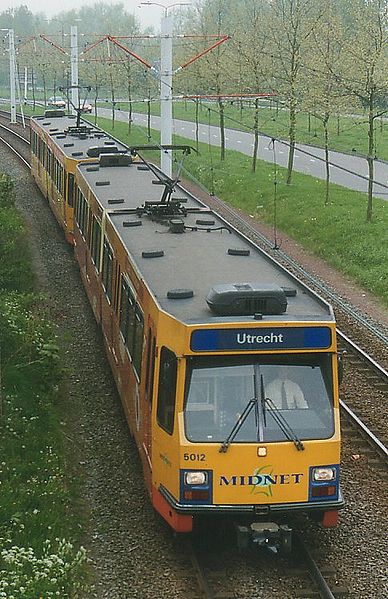 |
MAP
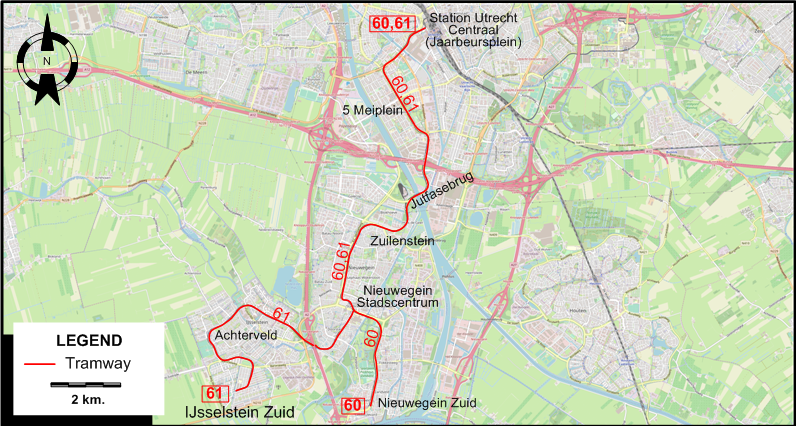
I created the above map by overlaying OpenStreetMap (OSM) maps with my own data. The underlying map data is © OpenStreetMap contributors, licensed under the Open Database License (ODbL).
Please note that the OSM map used as a template for this map corresponds to the situation at the time the map was downloaded and may show features that did not exist at the time the GS Tram Site is supposed to show. In particular, it may show bridges and highways that were built later.
URBAN "FAST" TRAM (SNELTRAM) ROUTES
Operator: Connexxion
| 60 | Station Utrecht Centraal (Jaarbeursplein) – 5 Meiplein – Jutfasebrug – Zuilenstein – Nieuwegein Stadscentrum – Nieuwegein Zuid |
| 61 | Station Utrecht Centraal (Jaarbeursplein) – 5 Meiplein – Jutfasebrug – Zuilenstein – Nieuwegein Stadscentrum – Achterveld – IJsselstein Zuid |
CHARACTERISTICS OF THE SYSTEM
NETWORK LENGTH
- Urban trams: 20 km.
HISTORY
- Urban trams (first system) : (horse-drawn) 3 July 1889 - ?; (electric) 20 June 1906 - 15 Jan. 1939.
- Urban trams (second system): (electric) 17 Dec. 1983 - today.
- Interurban trams (Utrecht - Zeist): (horse-drawn) 29 Apr. 1879 - 20 Aug. 1909; (electric) 20 Aug. 1909 - 3 May 1949.
- Interurban trams (Utrecht - Vreeswijk): (steam, then horse-drawn) 12 Dec. 1883 - 2 Jan. 1929.
GAUGE
- All trams: 1435 mm.
SOURCES
- Donders, M. "Utrecht Uithoflijn: Development and challenges", Tramways & Urban Transit, Aug. 2015 (78: 932), p.319-321.
- Koenot, L. Tram 2000 - Flash 1998. Bruxelles: Tram 2000, 1998.
- Donders, M. "Utrecht Uithoflijn: Development and challenges", Tramways & Urban Transit, Aug. 2015 (78: 932), p.319-321.
- Pulling, N. "Systems Factfile No.106: Utrecht, Netherlands", Tramways & Urban Transit, Aug. 2016 (79: 944), p.304-308.
- Pulling, N. "Systems Factfile No.175: Utrecht, The Netherlands", Tramways & Urban Transit, May 2022 (85: 1013), p.180-185.
- Wansbeek, C.J. "New lease of life for Utrecht Sneltram", Tramways & Urban Transit, June 2000 (63: 750), p.212-214.
- Wansbeek, C.J. "Utrecht improving its competitive edge", Tramways & Urban Transit, Feb. 1999 (61: 734), p.52-54.
WIKIS
WEB SITES
Copyright Gabor Sandi 1998-2026
Disclaimer: Everything on this site was written and/or prepared at the author's discretion. The author has tried to be accurate where facts are presented, but this does not mean that these facts are necessarily accurate. People needing more reliable information should refer to appropriate sources presented, on the Internet or elsewhere, by authoritative professional or academic bodies.
To get in touch with the webmaster, send an e-mail to g_sandi at hotmail.com.
Flags on this site are from the FOTW Flags Of The World website.