VIDEOS
 |
 |
| Above: YouTubeCA video - La ligne est du tramway d'Alger et son extension vers Dergana - Length: 11:09 mins. | Above: YouTubeCA video - Algiers Subway - Metro d'Alger - Length: 4:39 mins. |
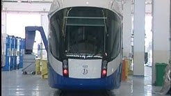
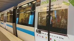
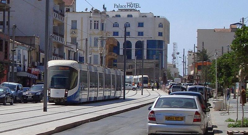
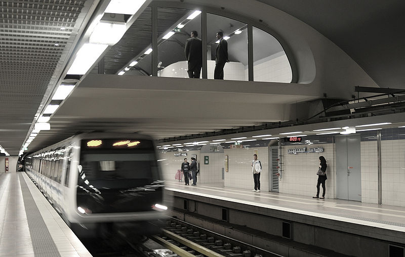
PHOTOS
 |
 |
MAP
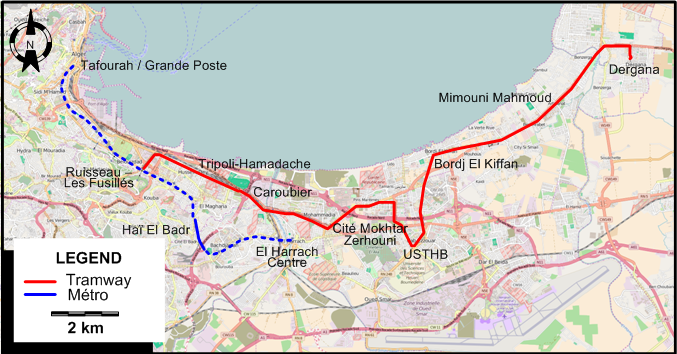
I created the above map by overlaying OpenStreetMap (OSM) maps with my own data. The underlying map data is © OpenStreetMap contributors, licensed under the Open Database License (ODbL).
Please note that the OSM map used as a template for this map corresponds to the situation at the time the map was downloaded and may show features that did not exist at the time the GS Tram Site is supposed to show. In particular, it may show bridges and highways that were built later.
ROUTES
TRAM ROUTE
Operator: Société d'exploitation des tramways(Setram)
| Ruisseau (Les Fusillés) - Tripoli-Hamadache - Caroubier - Cité Mokhtar Zerhouni - USTHB - Bordj El Kiffan - Mimouni Mahmoud - Dergana |
MÉTRO ROUTE
Operator: RATP El Djazaïr
| Tafourah / Grande Poste - Les Fusillés - Haï El Badr - El Harrach Centre |
CHARACTERISTICS OF THE SYSTEM
NETWORK LENGTH
- Tramways: 23.2 km.
- Métro: 13.5 km.
HISTORY
- City trams (first-generation): (steam:) 21 Sept. 1894 - 1935; (electric): 14 Apr. 1898 - 12 Sept. 1959.
- City trams (second-generation): 8 May 2011 - today.
- Métro: 1 Nov. 2011 - today.
GAUGE
- Trams (first-generation): 1055 mm.
- Trams (second-generation): 1435 mm.
- Metro: 1435 mm.
SOURCES
- "Algeria's tramway revolution - Part One", Tramways & Urban Transit, Nov. 2019 (82: 983), p.415-420.
- Attal, P.-E. "Tramways et métros d'Alger, d'hier à aujourd'hui", Historail, July 2015, No.34, p.54-69.
- "Black gold pays for Algerian LRT development", Tramways & Urban Transit, Apr. 2014 (77: 916), p.152-155.
WIKIS
- Chemins de fer sur routes d'Algérie (CFRA)
- Métro d'Alger
- Société des tramways algériens
- Tramway d'Alger
- Tramways et Messageries du Sahel
WEB SITES
- Algiers - Al Jaza'ir (on UrbanRail.Net)
- Entreprise Métro d'Alger
- Histoire des Tramways - Alger (by Hocine Bouzerara)
- SETRAM - Tramway d'Alger
- Les transports à, autour et pour Alger et l'Algérie (by Bernard Venis)
Copyright Gabor Sandi 1998-2026
Disclaimer: Everything on this site was written and/or prepared at the author's discretion. The author has tried to be accurate where facts are presented, but this does not mean that these facts are necessarily accurate. People needing more reliable information should refer to appropriate sources presented, on the Internet or elsewhere, by authoritative professional or academic bodies.
To get in touch with the webmaster, send an e-mail to g_sandi at hotmail.com.
Flags on this site are from the FOTW Flags Of The World website.