INSET: SEATTLE-TACOMA REGION
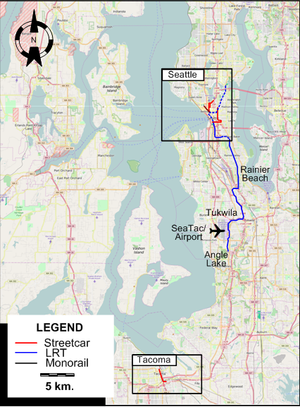
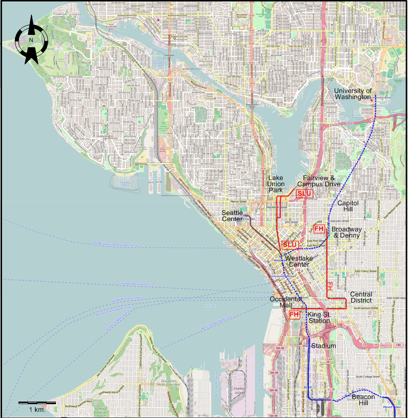
INSET: SEATTLE - CENTRAL AREA
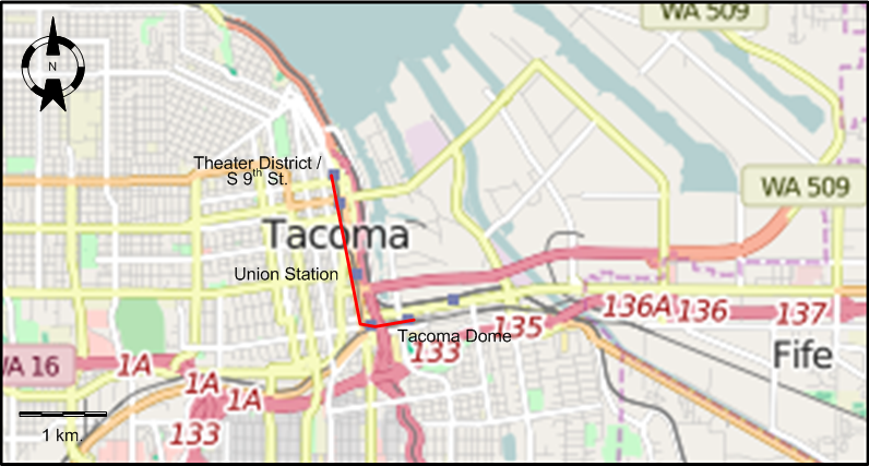
INSET: TACOMA
ROUTES
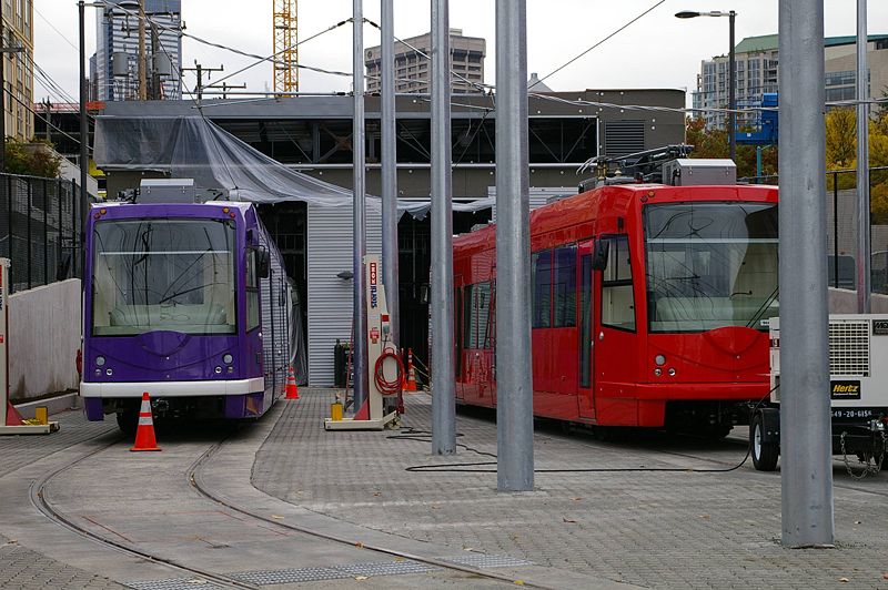
STREETCAR ROUTE
Operator: King County Metro Transit
| FH |
First Hill line |
Broadway & Denny - Central District - Occidental Mall |
| SLU |
South Lake Union line |
Westlake Center - Lake Union Park - Fairview & Campus Drive |
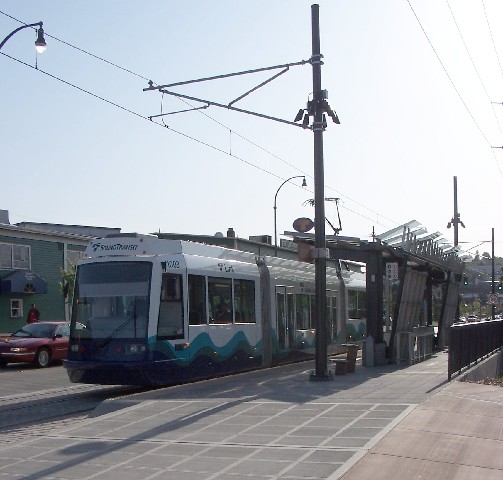
LIGHT RAIL ROUTES
Operator: Sound Transit
| Central Link |
University of Washington - Capitol Hill - Westlake Center - King
Street (Union) Station - Stadium - Beacon Hill - Rainier Beach - Tukwila - Seattle-Tacoma (SeaTac)
International Airport - Angle Lake |
| Tacoma Link |
Theater District/S 9th Street - Union Station - Tacoma Dome |
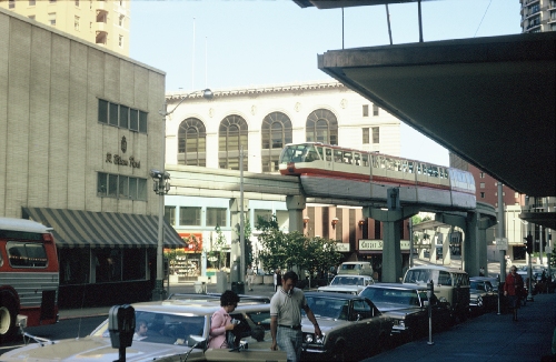
MONORAIL ROUTE
Operator: Seattle Monorail
Services
| |
Westlake Center - Seattle Center |
CHARACTERISTICS OF THE SYSTEM
NETWORK LENGTH
- Seattle streetcar lines: 6.1 km.
- Tacoma Link (streetcar): 2.6 km.
- Central Link (Light rail): 32.7 km.
- Monorail: 1.9 km.
|