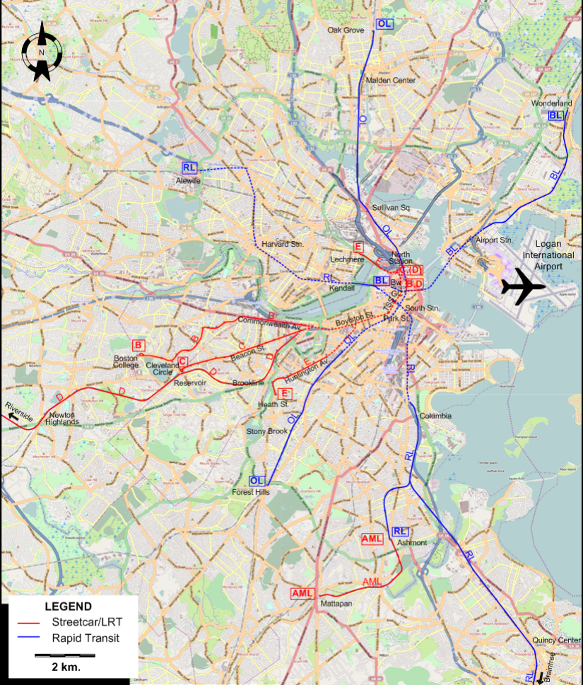
ABBREVIATIONS ON THE MAP
| Bw |
Bowdoin |
TSS |
Tremont Street subway |
| GC |
Government Center |
|
|
ROUTES
Operator: Metropolitan Transit Authority (MTA)
LIGHT RAIL (STREETCAR + IN-TUNNEL) ROUTES
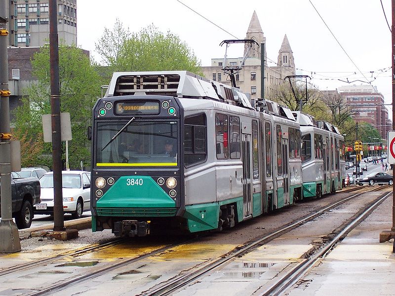
| Green Line |
B |
Government Center - Tremont Street subway - Park St. Station - Boylston St. subway - Commonwealth Av. - Boston College |
| Green Line |
C |
North Station - Government Center - Tremont Street subway - Boylston St. subway - Beacon St. - Cleveland Circle |
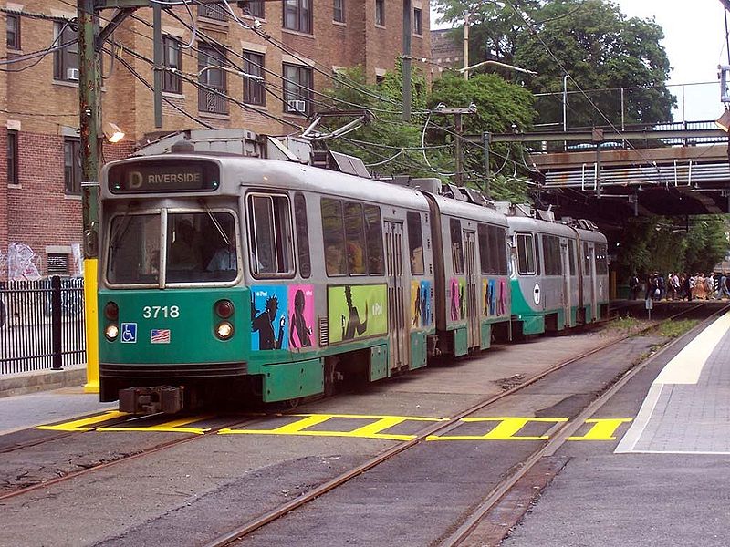
| Green Line |
D |
[Off-peak: North Station -] Government Center - Tremont Street subway - Boylston St. subway - Brookline - Reservoir -
Newton Highlands - Riverside |
| Green Line |
E |
Lechmere - North Station - Government Center - Tremont Street subway - Boylston St. subway - Huntington Av. - Heath St. |
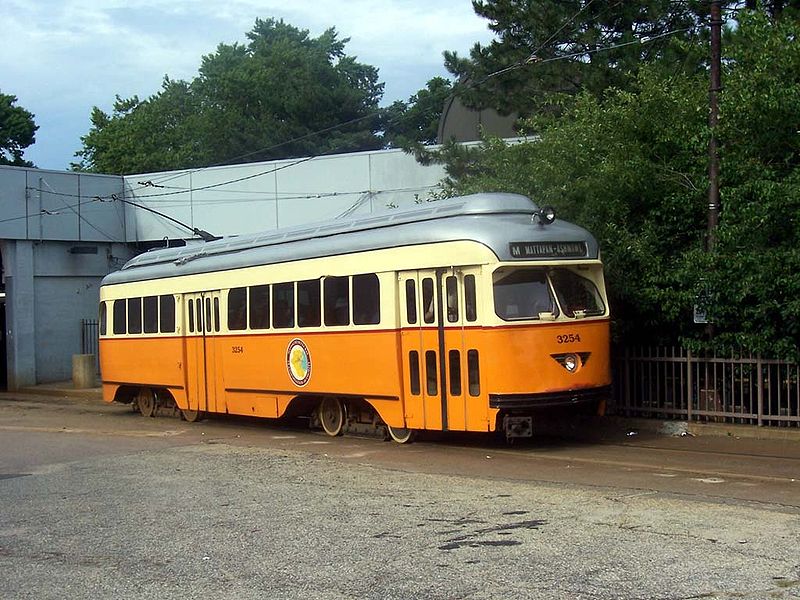
| Ashmont-Mattapan High Speed Line |
AML |
Ashmont - Mattapan |
SUBWAY ROUTES
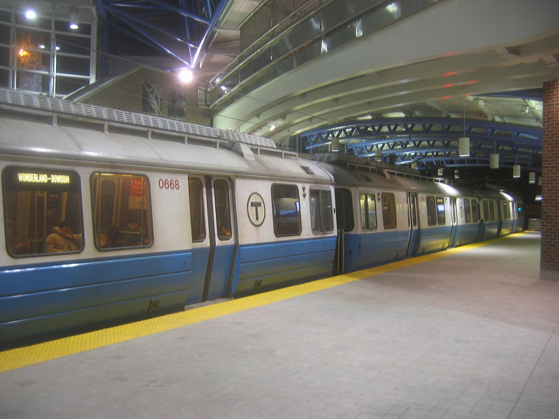
| Blue Line |
BL |
Bowdoin - Airport Stn. (Logan Int. Airport) - Wonderland |
| Orange Line |
OL |
Oak Grove - Malden Center - Sullivan Sq. - North Station - Stony Brook - Forest Hills |
| Red Line |
RL |
Alewife - Harvard Station - Kendall - Park St. Station - South Stn. - Columbia ( - Ashmont) / ( - Quincy Center - Braintree) |
The abbreviations BL, OL and RL are for convenience only. Local usage is strictly Blue Line, Orange Line and Red Line, respectively.
CHARACTERISTICS OF THE SYSTEM
NETWORK LENGTH
- Streetcar/LRT lines: 41 km.
- Subway lines: 61 km.
|