Credit: Nina Aldin Thune |
 |
Credit: Nina Aldin Thune |
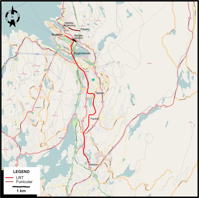
ROUTES
LIGHT RAIL ROUTE
Operator: Fjord 1 Partner
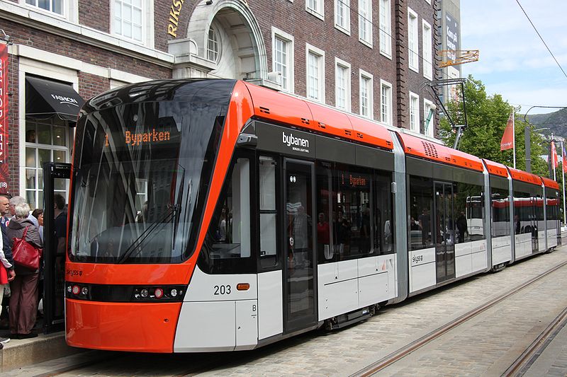
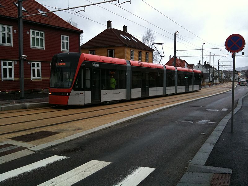
| Bybanen |
Byparken – Nygårdsbroen - Kronstad – Sletten - Fantoft - Nesttun |
FUNICULAR ROUTE
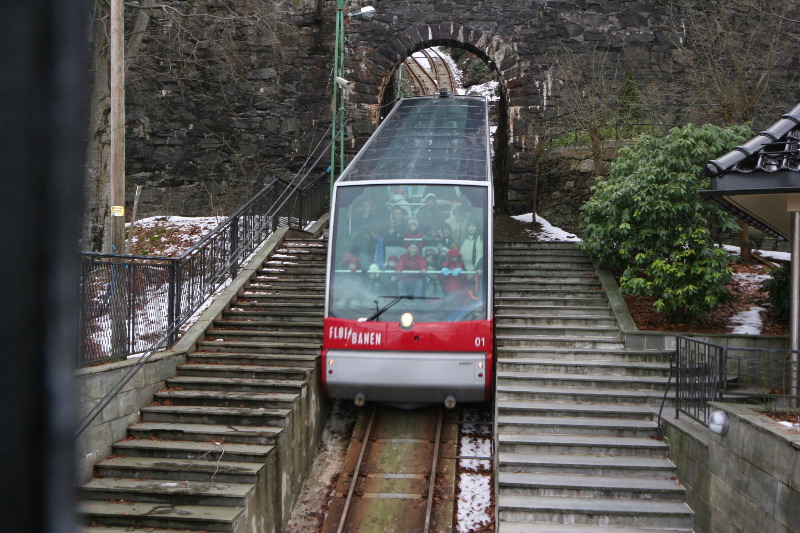
Operator: Fløibanen
| |
Vetrlidsalmenning – Fløyen |
CHARACTERISTICS OF THE SYSTEM
NETWORK LENGTH
- Light rail: 9.8 km.
- Funicular: 850 m.
|