| 1 |
Centraal Station – Voorburgwal - Paleis - Spui - Leidsestraat - Leidseplein - Overtoom - Surinameplein -
Cornelius Lelylaan - Tussenmeer - Osdorp |
| 2 |
Centraal Station – Voorburgwal - Paleis - Spui - Leidsestraat - Leidseplein - Rijksmuseum - Constantijn Huygensstraat - Willemsparkweg - Hoofddorpplein - Heemstedestraat -
Bocholstraat - Nieuw Sloten |
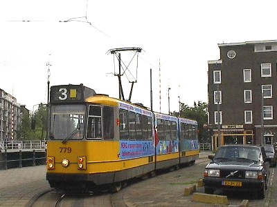
| 3 |
Zoutkeetsgracht - Marnixstraat - Frederik Hendrikplantsoen - Bilderdijkstraat - Constantijn Huygensstraat – Van Baerlestraat - Ceintuurbaan –
‘s-Gravesandeplein - Oosterpark - Wijttenbachstraat - Stat. Muiderpoort |
| 4 |
Centraal Station – Damrak - Dam - Rokin - Muntplein - Rembrandtplein - Utrechtsestraat – Frederiksplein - Van Woustraat - Rooseveltlaan - Europaplein - Station RAI |
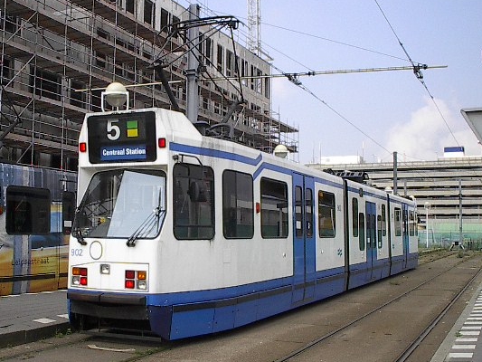
| 5 |
Centraal Station – Voorburgwal - Paleis - Spui - Leidsestraat - Leidseplein - Rijksmuseum - Van Baerlestraat - Beethovenstraat -
Station Zuid WTC - Amstelveen Binnenhof [Between Station Zuid - Amstelveen operated like a light rail line] |
| 6 |
Stadionplein - Amstelveenseweg - Overtoom - Leidseplein - Weteringschans – Frederiksplein - Sarphatistraat – Roeterstraat - Plantage Parklaan |
| 7 |
Bos en Lommerplein - Mercatorplein - Jan Evertsenstraat - Witte de Withstraat - Kinkerstraat - Marnixstraat - Leidseplein -
Weteringschans - Frederiksplein - Sarphatistraat - [‘s-Gravesandeplein - Oosterpark - Wijttenbachstraat - Stat. Muiderpoort - Insulindeweg - Molukkenstraat]
[back: Zeeburgerdijk - Mauritskade - Alexanderplein] - Javaplein |
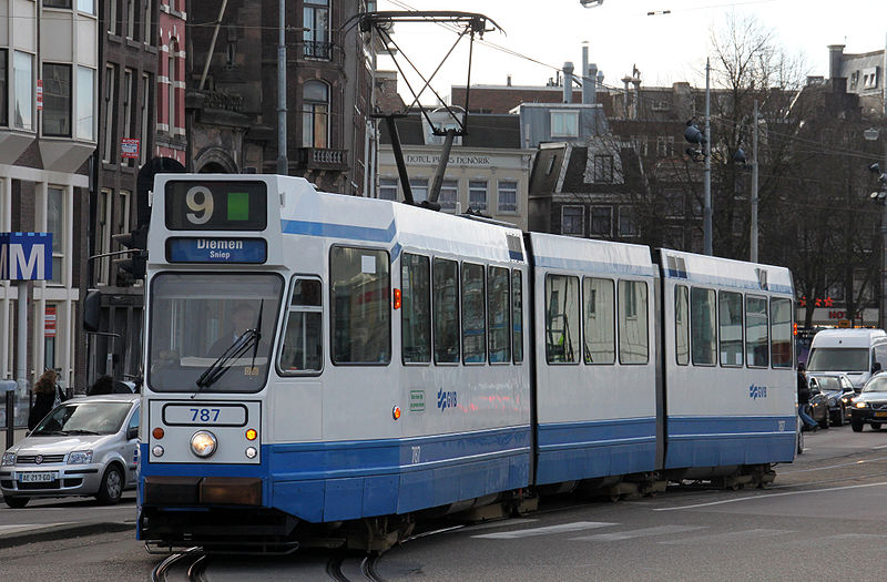
| 9 |
Centraal Station – Damrak - Dam - Rokin – Muntplein - Rembrandtplein - Waterlooplein - Plantage – Alexanderplein - Linnaeusstraat - Middenweg - Diemen |
| 10 |
Van Hallstraat - Nassaukade - Marnixstraat - Leidseplein - Weteringschans – Frederiksplein - Sarphatistraat –
[Alexanderplein - Mauritskade - Zeeburgerdijk] [back: Molukkenstraat - Insulindeweg - Stat. Muiderpoort - Wijttenbachstraat - Oosterpark - ‘s-Gravesandeplein] - Javaplein |
| 12 |
Station Sloterdijk - Admiraal de Ruijterweg - DeClercqstraat - Bilderdijkstraat - Constantijn Huygensstraat – Van Baerlestraat - Ceintuurbaan –
Churchillaan - Vrijheidslaan - Amstelstation |
| 13 |
Centraal Station - Voorburgwal - Paleis - Rozengracht – DeClercqstraat - Jan Evertsenstraat - Mercatorplein - Jan Evertsenstraat -
Burg. Röellstraat - Geuzenveld |
| 14 |
Sloterplas – Slotermeer - Bos en Lommerweg - Admiraal de Ruijterweg - DeClercqstraat - Rozengracht - Paleis -
Damrak - Dam - Rokin – Muntplein - Rembrandtplein - Waterlooplein - Plantage – Alexanderplein - Linnaeusstraat - Wijttenbachstraat - Stat. Muiderpoort - Insulindeweg - Flevopark |
| 16 |
Centraal Station – Damrak - Dam - Rokin - Muntplein - Vijzelstraat - Albert Cuypstraat - DeLairessestraat -
Station Haarlemmeer - Amstelveenseweg - Stadionplein |
| 17 |
Centraal Station – Voorburgwal - Paleis - Rozengracht – Marnixstraat - Kinkerstraat – Hoofdweg - Surinameplein -
Cornelius Lelylaan - Osdorpplein |
| 20 |
Centraal Station – Voorburgwal - Paleis - Rozengracht – Marnixstraat - Leidseplein - Rijksmuseum - Van Baerlestraat -
Ceintuurbaan - Van Woustraat - Frederiksplein - Sarphatistraat – Roeterstraat - Plantage Parklaan - Waterlooplein - Rembrandtplein -
Muntplein - Rokin – Dam - Damrak - Centraal Station [Circular route, with the clockwise route numbered 20A and the anticlockwise route numbered 20B] |
| 24 |
Centraal Station – Damrak - Dam - Rokin - Muntplein - Vijzelstraat - Ceintuurbaan - Beethovenstraat - Stadionweg - Olympiaweg |
| 25 |
Centraal Station – Damrak - Dam - Rokin - Muntplein - Vijzelstraat - Churchillaan - Rijnstraat - Pres. Kennedylaan |
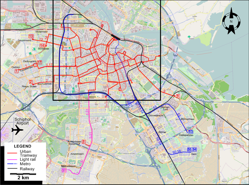
NB: Between Station Zuid WTC and Middenhoven, Metro line 51 runs like an LRT line. Tram No.5 also runs over about half this track, between Station Zuid WTC and Amstelveen.