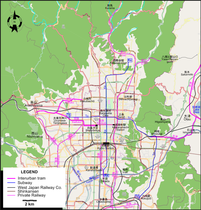
ROUTES
Operator: 京都市交通局 (Kyoto Municipal Transportation Bureau)
SUBWAY ROUTES
| Ka |
Karasuma (烏丸) Line |
竹田 (Takeda) - 京都駅前 (Kyōto Station) - 烏丸御池 (Karasuma Oike) - 国際会館 (Kokusaikaikan) |
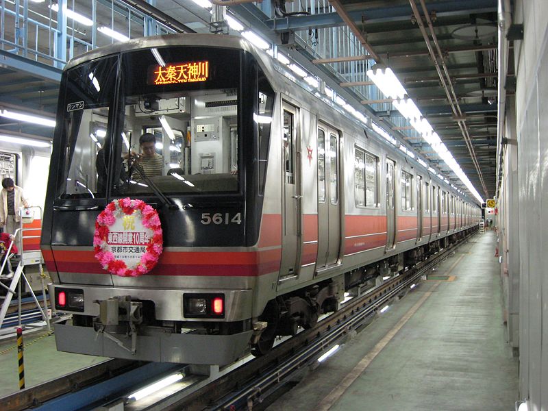
| To |
Tōzai (東西) Line |
太秦天神川 (Uzumasa-Tenjingawa) - 二条 (Nijō) - 烏丸御池 (Karasuma Oike) - 三条 (Sanjō) - 御陵 (Misasagi) - 六地蔵 (Rokujizō) |
INTERURBAN TRAM ROUTES
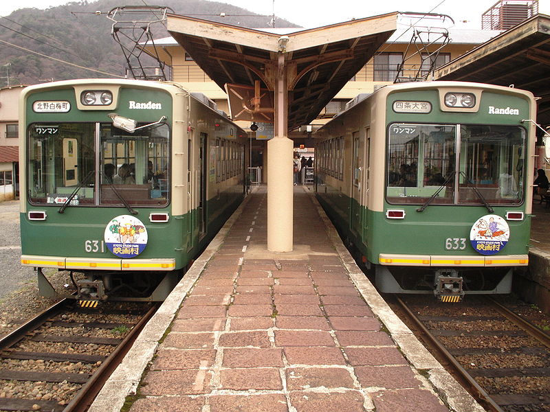
Operator: 京福電気鉄道 (Keifuku Electric Railroad)
| |
四条大宮 (Shijō-ōmiya) - 嵐山 (Arashiyama) |
| |
北野 (Kitano) - 嵐山 (Arashiyama) |
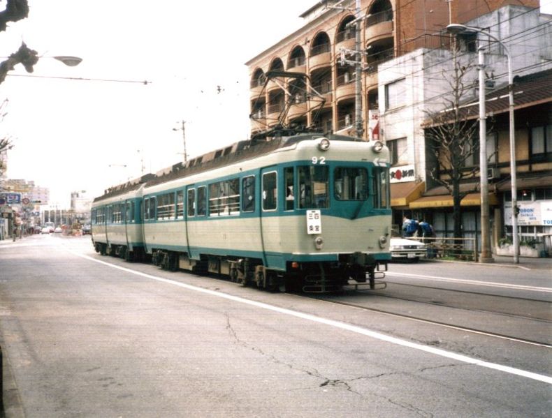
Operator: 京阪電気鉄道 (Keihan Electric Railway) - 京津線 (Keishin line)
| |
大津 (Ōtsu) - 御陵 (Misasagi) [Most services continue in the Tōzai underground service to downtown Kyoto and beyond] |
| |
坂本 (Sakamoto) - 大津 (Ōtsu) - 石山寺 (Ishiyamadera) |
CHARACTERISTICS OF THE SYSTEM
NETWORK LENGTH
- Keifuku line: 11 km.
- Keihan (Keishin) line: 22 km.
- Subway: 25 km.
|