

I created the above map by overlaying an OpenStreetMap (OSM) map with my own data. Copyright on the OSM map is ©
OpenStreetMap & Contributors, licensed under a CC-BY-SA (Creative Commons Attribution-ShareAlike 2.0 licence).
Please note that the OSM map used as a template for this map corresponds to the situation at the time the map was downloaded and may show features that did not exist at the time
the GS Tram Site is supposed to show. In particular, it may show bridges and highways that were built later.
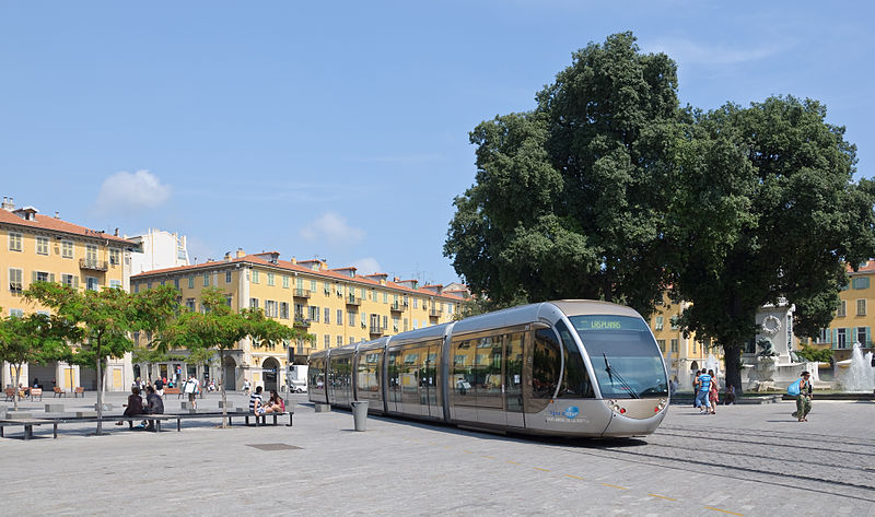
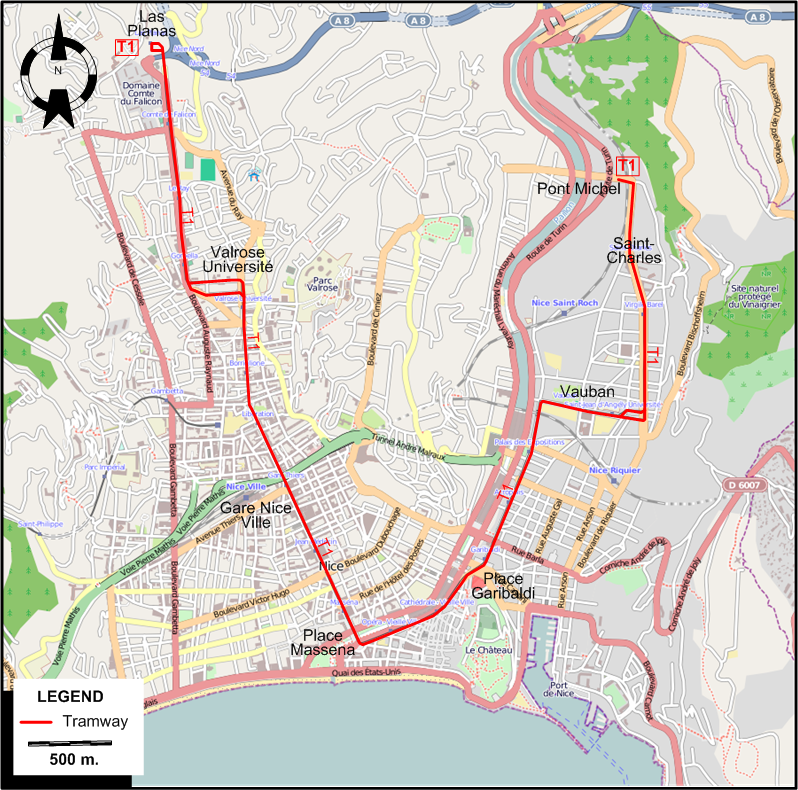
TRAM ROUTE
Operator: Société nouvelle des transports de l'agglomération niçoise (ST2N)
| T1 |
Las Planas - Valrose Université - Gare Nice Ville (Nice Station) - Place Massena - Place Garibaldi - Vauban - Saint-Charles - Pont Michel |
NETWORK LENGTH
HISTORY
- Urban tramway (Cannes): 25 Feb. 1899 - 11 May 1933.
- Urban tramway (Nice, first generation): (horse-drawn): 28 Feb. 1878 - 3 Nov. 1902; (electric): 13 Jan. 1900 - 30 Jan. 1953.
- Urban tramway (Nice, second generation): 24 Nov. 2007 - today.
GAUGE
- Tramway (Nice and Cannes, first generation): 1000 mm.
- Tramway (second generation): 1435 mm.
PRINT
- Courant, R. Le temps des tramways Menton: Éditions du Cabri, 1982.
- Robert, J. Les tramways de Nice et de la Côte d'Azur Neuilly-sur-Seine: Editeur Jean Robert, 1988.
WIKIS
WEB SITES
|