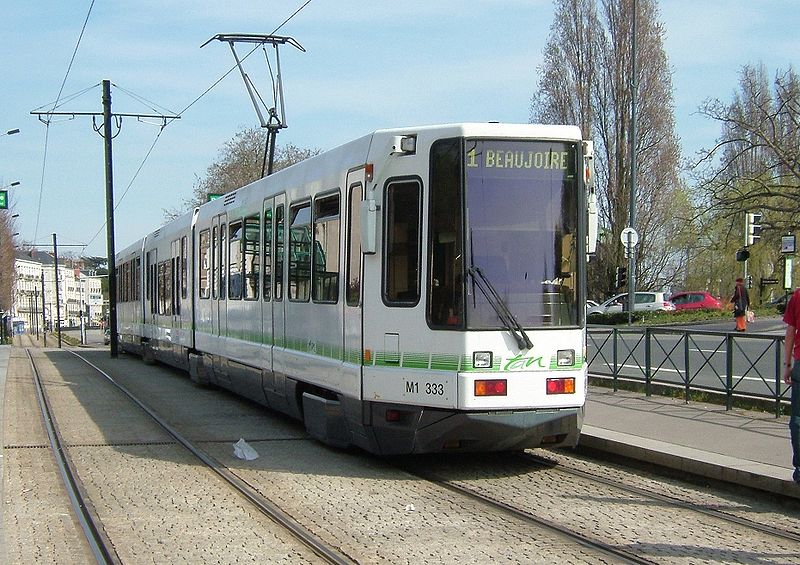
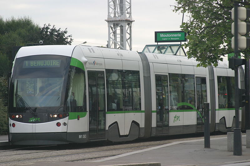
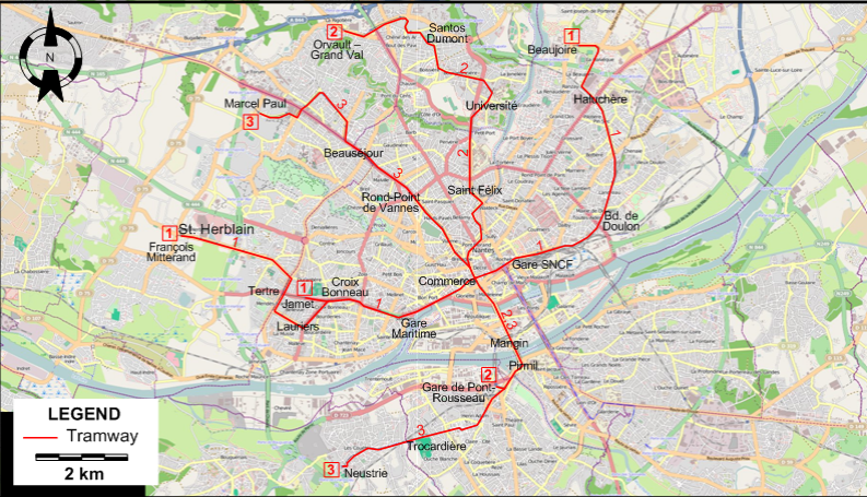
THE GS TRAM SITE

NANTES

FRANCE

flag.fra

5 Jan. 2009

UP-TO-DATE

Nantes after the prolongation of tramway line T3 to Marcel Paul.


FRANCE

BORDEAUX

LE HAVRE

LYON

MARSEILLE

NANTES

NICE

PARIS

STRASBOURG


GS Web Site Home


Nantes tram Nantes tram Nantes tram

Nantes tram map 2009


I created the above map by overlaying an OpenStreetMap (OSM) map with my own data. Copyright on the OSM map is © OpenStreetMap & Contributors, licensed under a CC-BY-SA (Creative Commons Attribution-ShareAlike 2.0 licence).

Please note that the OSM map used as a template for this map corresponds to the situation at the time the map was downloaded and may show features that did not exist at the time the GS Tram Site is supposed to show. In particular, it may show bridges and highways that were built later.

TRAM ROUTE

Operator: TAN

1 (François Mitterand [St. Herblain] - Tertre - Lauriers) / (Jamet) - Croix Bonneau - Gare Maritime - Commerce - Gare SNCF - Bd. de Doulon - Haluchère - Beaujoire
2 Orvault-Grand Val - Santos Dumont - Université - Saint Félix - Commerce - Mangin - Pirmil - Gare de Pont-Rousseau
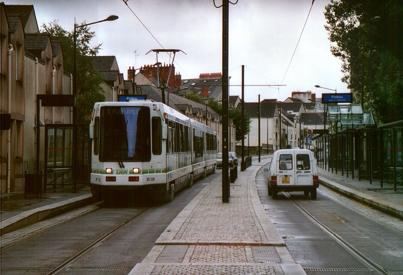
3 Marcel Paul - Beauséjour - Rond-Point de Vannes - Commerce - Mangin - Pirmil - Trocardière - Neustrie

CHARACTERISTICS OF THE SYSTEM

NETWORK LENGTH

  • Tramway: 43.5 km.


HISTORY

  • Urban tramway (First generation): (compressed air): 13 Dec. 1879 - 1917; (electric): 1911 - 25 Jan. 1958.
  • Urban tramway (Second generation): 7 Jan. 1985 - today.

GAUGE

  • Tramway (first generation): 1435 mm.
  • Tramway (second generation): 1435 mm.

SOURCES

PRINT

  • Fox, P. "French pioneer: Nantes opens northern section of Line 2", Light Rail Review 6, 1994, p. 37-40.

WIKIS

WEB SITES


Hit count for the GS Tram Site:

Valid HTML 4.01!


Copyright Gabor Sandi 1998-2012

To get in touch with the webmaster, send an e-mail to g_sandi@hotmail.com

Flags on this site are from the FOTW Flags Of The World website.