| < |
 |
|
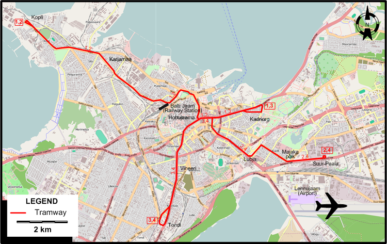
ROUTES
TRAM ROUTES
Operator: Tallinna Trammi- ja Trollibussikoondis (TTTK)
| 1 |
Kopli - Karjamaa - Balti Jaam (Railway Station) - Kadriorg |
| 2 |
Kopli - Karjamaa - Balti Jaam (Railway Station) - Tondi - Tõnismäe - Kadriorg |
| 3 |
Tondi - Tõnismäe - Kadriorg |
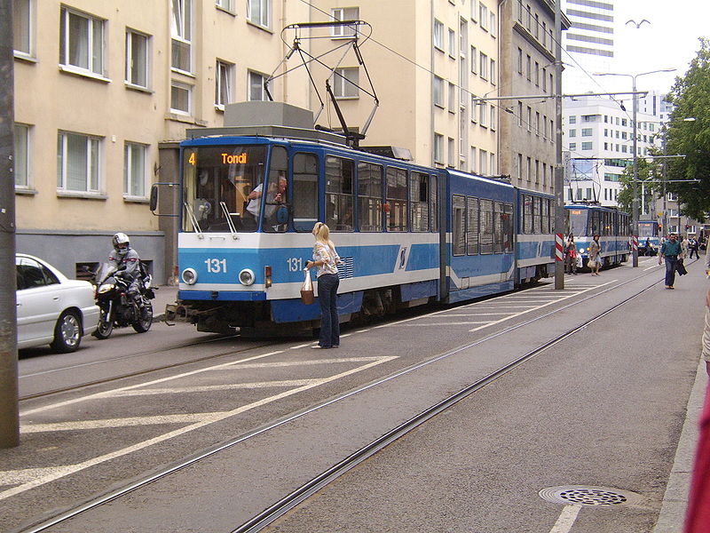
| 4 |
Tondi - Tõnismäe - Tondi - Tõnismäe - Kadriorg |
CHARACTERISTICS OF THE SYSTEM
NETWORK LENGTH
|