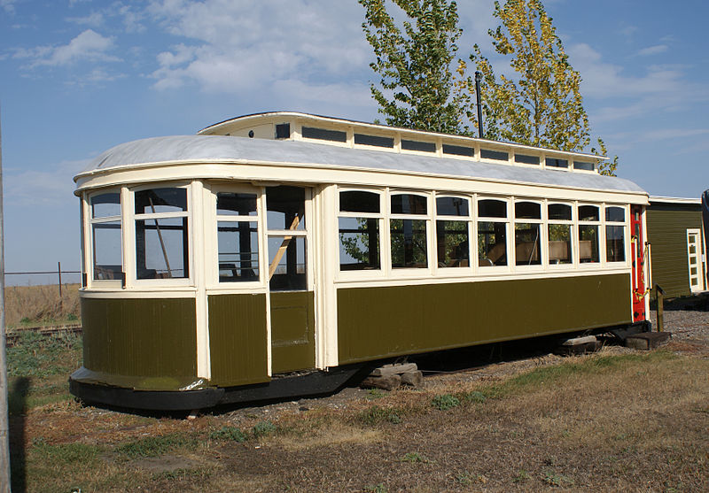
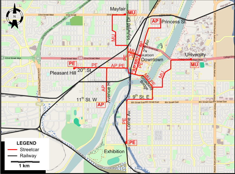

I created the above map by overlaying an OpenStreetMap (OSM) map with my own data. Copyright on the OSM map is ©
OpenStreetMap & Contributors, licensed under a CC-BY-SA (Creative Commons Attribution-ShareAlike 2.0 licence).
Please note that the OSM map used as a template for this map corresponds to the situation at the time the map was downloaded and may show features that did not exist at the time
the GS Tram Site is supposed to show. In particular, it may show bridges and highways that were built later.
ROUTES
Operator: Saskatoon Municipal Railway
Streetcar routes in Saskatoon were identified by their termini. Abbreviations of these route names are given below and used on the map for
convenience, but were not used by the operator.
| AP |
Avenue H - Princess Street |
11th St. W - Ave. H - 20th St. - Downtown - 2nd Av. - Princess St. |
| MU |
Mayfair - University |
Mayfair (33rd St.) - Downtown (2nd Av.) - Broadway Bridge - University of Saskatchewan |
| PE |
Pleasant Hill - Exhibition |
Pleasant Hill - 20th St. - Idylwyld Dr. - Downtown - Broadway Bridge - 9th St. E - Lorne Av. - Exhibition |
CHARACTERISTICS OF THE SYSTEM
NETWORK LENGTH
HISTORY
- Streetcars: 1 Jan. 1913 - 10 Nov. 1951.
- C-Train (LRT): 23 Apr. 1978 - today.
GAUGE
TRAM PRESERVATION
Two of the original Saskatoon streetcars are on display and being restored at the
Saskatchewan Railway Museum .
SOURCES
PRINT
- Waman, E. Saskatoon's electric transit: The story of Saskatoon's streetcars and trolley buses. Toronto: Railfare Enterprises, 1988.
WIKIS
WEB SITES
|