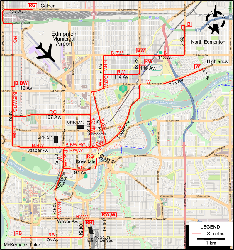
ROUTES
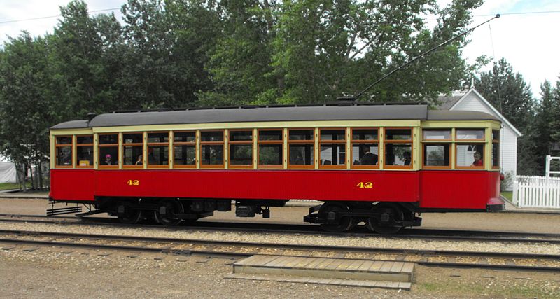
Operator: Edmonton Street Railway
URBAN STREETCAR ROUTES
Streetcar routes in Edmonton were identified by a colour scheme that appeared both in panels and lights used on the vehicles. In the table below,
a letter code is used for the appropriate colour(s) (it also appears on the map). The full route name is also given.
| B |
Blue |
112 Av. - 124 St. - Jasper Av. - 97 St. - 95 St. - 118 Av. - 66 St. - North Edmonton (124 Av.) |
| BW |
Blue & White |
112 Av. - 124 St. - Jasper Av. - 97 St. - 95 St. - 118 Av. (at 82 St.) |
| RB |
Red & Blue |
Whyte Av. - 104 St. - 76 Av. - McKernan’s Lake (at 116 St.) |
| RG |
Red & Green |
Calder - 127 Av. - 124 St. - 107 Av. - 101 St. - Jasper Av. - 109 St. - 97 Av. - Rossdale (near the Low Level Bridge) |
| RW |
Red & White |
116 Av. (at 80 St.) - 114 Av. - 95 St. - 101 St. - Jasper Av. - 109 St. - High Level Bridge - 109 St. - Whyte Av. - 99 St. |
| W |
White |
Highlands (61 St.) - 112 Av. - 101 St. - Jasper Av. - 109 St. - High Level Bridge - 109 St. - Whyte Av. - 99 St. |
CHARACTERISTICS OF THE SYSTEM
NETWORK LENGTH
|