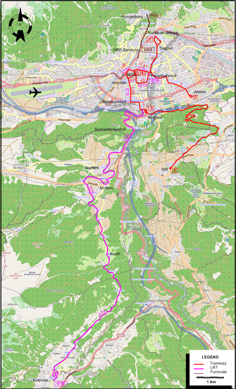
ABBREVIATION ON THE MAPS
| MTS |
Maria-Theresien-Straße |
|
|
ROUTES
Operator: Innsbrucker Verkehrsbetriebe (IVB)
URBAN TRAM ROUTES
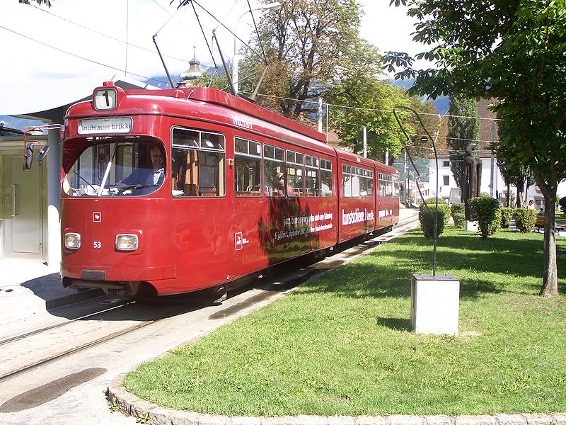
| 1 |
Berg Isel - Saggen |
| 3 |
Maria-Theresien-Straße - Amras |
| 6 |
(Maria-Theresien-Straße [In summer only] -) Berg Isel - Igls |
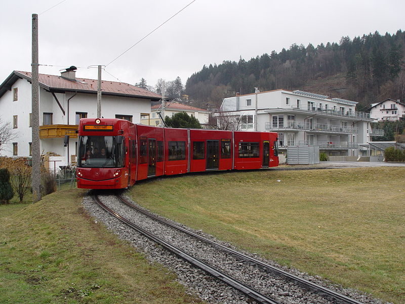
INTERURBAN ROUTE (STUBAITALBAHN)
| STB |
Hauptbahnhof [Central Station] - Fulpmes |
FUNICULAR ROUTE (HUNGERBURGBAHN)
CHARACTERISTICS OF THE SYSTEM
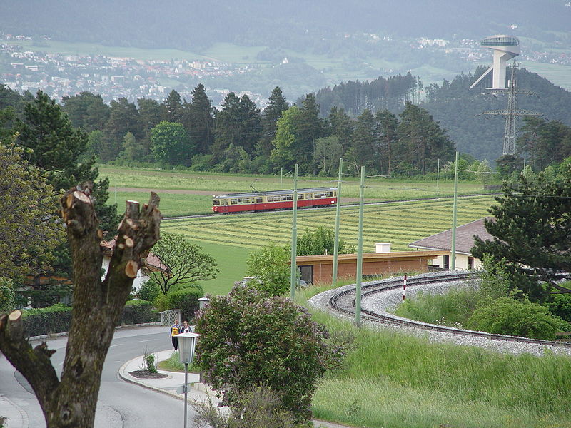
NETWORK LENGTH
-
Tramway: 17.3 km.
-
Stubaitalbahn: 18.2 km.
-
Hungerburgbahn: 1.8 km.
|